NASA launched the final stage of its four-year program to create a national traffic management system for drones this week, a move that brings home delivery of packages, medical supplies and even pizza by small unmanned aircraft one step closer to reality.
Earlier this year, the space agency chose Reno, Nevada and Corpus Christi, Texas as the sites for flight tests that will continue through August.
The flights, which began in Reno on Tuesday, are testing the management of drones in urban settings beyond the remote operator’s visual line of sight. They are being held in multiple locations, including outside Reno City Hall and the city plaza downtown.
“The City of Reno is excited to be a participant in this state and national program, and to help facilitate drone testing right here in the downtown Reno area,” said Reno Mayor Hillary Schieve.
“We have built an expansive collaboration, which will further The Biggest Little City’s reputation as a technology hub both now and in the future. We are proud to be the only city in the country involved in three drone testing programs, and we urge residents and visitors to go to Reno.gov/UAS to learn more and continue to offer valuable input,” Schieve said.
NASA has predicted that unmanned aircraft systems will soon be common in cities. It expects that as many as 400,000 commercial and 2 million recreational drones will be registered by 2020.
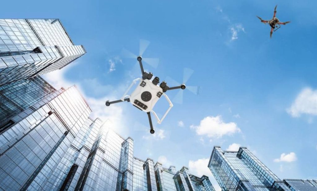
The challenge is how to integrate all that traffic in to cityscapes safely.
In a recent blog, the agency’s Abigail Tabor wrote that NASA has been working with the Federal Aviation Administration and other partners, including the Nevada Institute for Autonomous Systems, since 2015 to do just that.
Due to their size, drones are even more sensitive to bad or changing weather than crewed aircraft, and there are many things about a city that magnify that effect.
For instance, wind flows around and over skyscrapers and gets channeled down city streets in complex ways, and severe weather, like summer thunderstorms can pop up suddenly while a drone is on its way to a delivery.
During the tests flights, which will reach an altitude of 400 feet, NASA researchers will look at ways its system can incorporate and share important weather data with pilots and advise on the safest course of action.
“Drones need more frequent and more localized weather updates than airplanes do,” said Ron Johnson, project manager at NASA’s Ames Research Center in Mountain View, California.
“From the traffic management standpoint, we want to know what the weather is when someone submits a flight plan to the UTM system, then get more specific microweather predictions, for instance about wind speeds downtown along the intended path,” he said.
At its heart, the software system being developed by NASA and its partners will allow drones to communicate with their operators, and with each other — sharing their location and anticipated movements — and local authorities, for instance when there’s an area specific weather or police alert.
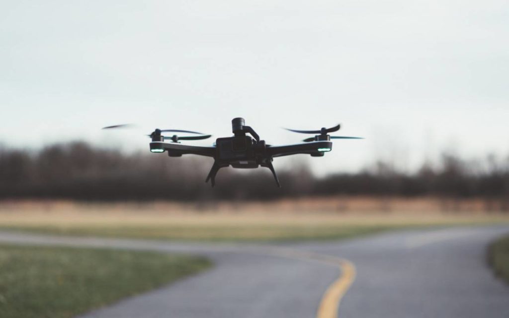
The system will also allow a drone pilot can pre-program landing spots that are known to be safer, such as a garage rooftop or a park. However, no urban environment is entirely devoid of people or animals.
One solution to this dilemma is being testing by a NASA team at the Langley Research Center in Hampton, Virginia, that would allow a drone to use its camera to detect pedestrians or vehicles and, if necessary, move on to the next safe place.
Once the current flight tests are completed, NASA expects to use its findings to design commercial drone flight rules that can be applied all over the country.